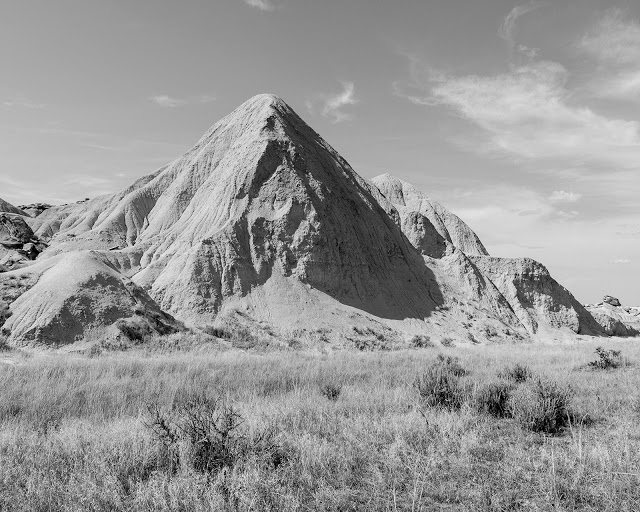
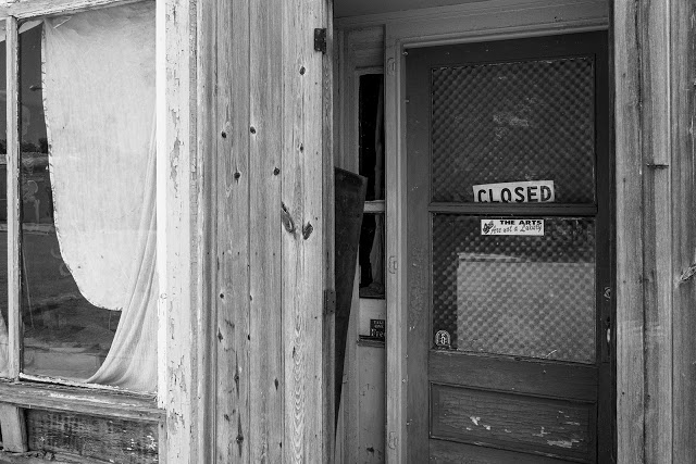
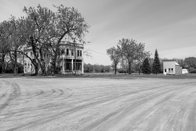
Oglala National Grassland
from Oglala, 3013
I spent a few days last week exploring the far northwest corner of Nebraska's panhandle, an area known as the Oglala National Grassland. The Grassland occupies near 100,000 acres of native short grass prairie and unique rock formations that many do not associate with the landscape of Nebraska. To me, it symbolizes the beginnings of the west, where the great plains begin to dissolve into the mountains and landscape of Wyoming and the Rockies.
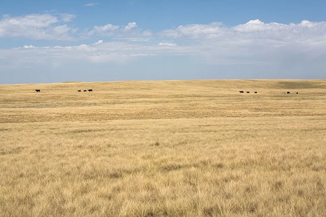
My first visit to Oglala came during the initial travels for ninety-three during the summer of 2007. It's such a foreign place to someone who has grown up surrounded by the expanses of green farm fields and rolling hills. Nebraska's grasslands appear to stretch on forever, almost completely void of trees, and are filled with little more than the sound of millions of short grasses moving in the wind. It's an unmistakable sound that has stuck with me ever since. There is also a sense of isolation that is both invigorating and a bit unsettling. I cannot even imagine how it felt to explore and live in this area before there were roads or towns of any kind on the prairie. It's no wonder that this land was sacred to Native American tribes like the Oglala Lakota of Chief Crazy Horse, who was killed at Fort Robinson in 1877.
Sioux County, Nebraska (2007)
It took a few years, but I did finally make it back. I've started a small project called Oglala that will document the area in and around the Grassland, including Crawford and Fort Robinson State Park. My experience last week was fantastic and I can't wait to share more of it with everyone.
A July update
It appears that July has lessened its grip on us all a little earlier this year than usual after only two weeks or so of unrelenting heat. I'm looking forward to picking back up on the Platte River project soon with a few new ideas as to how to approach it. Hopefully I'll have some positive results to show in the coming weeks along with more from Fontenelle.
Summer at Fontenelle

My time spent walking through Fontenelle Forest has reached its fourth and final season. The woods are entirely different in the summer, full of buzzing life and weedy greenery. It's a shame that the humidity around here is enough to kill a person off after just a mile or two of the hilly terrain that defines much of Fontenelle. Despite my many visits to the forest, there are still a few trail sections that I have yet to see. I find myself revisiting many of the same places repeatedly, my favorites.
The project is coming along nicely. While I'm not sure when and how it will be exhibited, I look forward to showing the images off at some point. It's been a great change of pace for me.
Along the border and all the way home
I've been home a few days, but I wanted to leave a quick blog entry that's as much for my own memory as for anyone following along. I left Minot on Sunday headed north, then made my way along the border, through the Green Mountains, and then south through Devils Lake to Fargo. On Monday, I took a short trip into far western Minnesota on U.S. Highway 75 before battling high winds all the way home down Interstate 29.