The (almost) final map
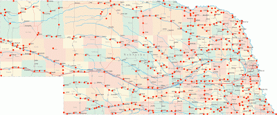
It's been awhile since I updated the ninety-three map, but here it is for your viewing pleasure. There is one red dot for every location I stopped to attempt to take a photograph. I was going to try to count them all, but I kept losing track before I even got halfway through the map.
All told, I spent nearly 40 days photographing Nebraska and shot over 4000 exposures along the way.
And I'd love to do it all over again.